Isaias Local Watch/Warning Statement/Advisory Number 30
National Weather Service Caribou ME AL092020
1200 PM EDT Tue Aug 4 2020
MEZ017-050000-
/O.CON.KCAR.TR.A.1009.000000T0000Z-000000T0000Z/
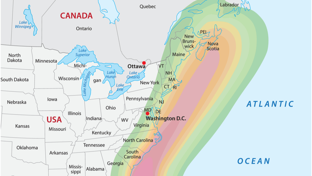
Central Washington-
1200 PM EDT Tue Aug 4 2020
…TROPICAL STORM WATCH REMAINS IN EFFECT…
* LOCATIONS AFFECTED
– Meddybemps
– Princeton
– Grand Lake Stream
* WIND
– LATEST LOCAL FORECAST: Below tropical storm force wind
– Peak Wind Forecast: 10-20 mph with gusts to 40 mph
– THREAT TO LIFE AND PROPERTY THAT INCLUDES TYPICAL FORECAST
UNCERTAINTY IN TRACK, SIZE AND INTENSITY: Potential for wind 39
to 57 mph
– The wind threat has remained nearly steady from the
previous assessment.
– PLAN: Plan for hazardous wind of equivalent tropical storm
force.
– PREPARE: Remaining efforts to protect property should be
completed as soon as possible. Prepare for limited wind
damage.
– ACT: Move to safe shelter before the wind becomes hazardous.
– POTENTIAL IMPACTS: Limited
– Damage to porches, awnings, carports, sheds, and unanchored
mobile homes. Unsecured lightweight objects blown about.
– Many large tree limbs broken off. A few trees snapped or
uprooted, but with greater numbers in places where trees
are shallow rooted. Some fences and roadway signs blown
over.
– A few roads impassable from debris, particularly within
urban or heavily wooded places. Hazardous driving
conditions on bridges and other elevated roadways.
– Scattered power and communications outages.
* TORNADO
– LATEST LOCAL FORECAST:
– Situation is somewhat favorable for tornadoes
– THREAT TO LIFE AND PROPERTY THAT INCLUDES TYPICAL FORECAST
UNCERTAINTY IN TRACK, SIZE AND INTENSITY: Potential for a few
tornadoes
– The tornado threat has remained nearly steady from the
previous assessment.
– PLAN: Emergency plans should include the potential for a
few tornadoes.
– PREPARE: If your shelter is particularly vulnerable to
tornadoes, prepare to relocate to safe shelter before
hazardous weather arrives.
– ACT: If a tornado warning is issued, be ready to shelter
quickly.
– POTENTIAL IMPACTS: Limited
– The occurrence of isolated tornadoes can hinder the
execution of emergency plans during tropical events.
– A few places may experience tornado damage, along with
power and communications disruptions.
– Locations could realize roofs peeled off buildings,
chimneys toppled, mobile homes pushed off foundations or
overturned, large tree tops and branches snapped off,
shallow-rooted trees knocked over, moving vehicles blown
off roads, and boats pulled from moorings.
* FOR MORE INFORMATION:
– http://maine.gov/mema/weather/hurricane.shtml